Discover Sinai Peninsula
Discover Sinai Peninsula
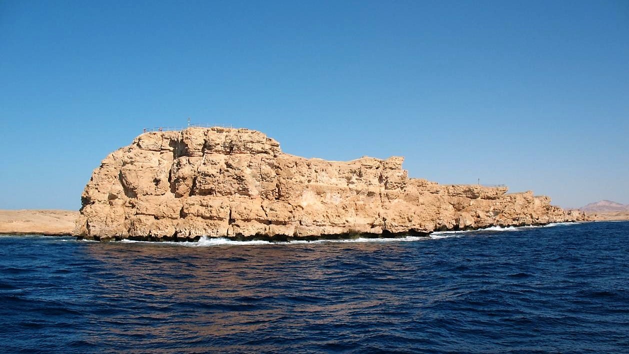
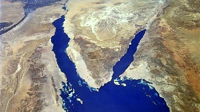
Sinai represents Egypt's Asian part, as the border between Africa and Asia is drawn along the Suez Canal. The peninsula is roughly triangular in shape, bordered by the Mediterranean Sea, the Negev Desert, the Gulf of Aqaba, the Red Sea and the Gulf of Suez. At its tip in the south the Gulf of Aqaba and the Gulf of Suez meet at Ras Mohamed. The peninsula’s outline and mountains are the result from earth's dynamic plate tectonics - the surface sections of the planet's crust that are very slowly separating in some places colliding in others.
The name Sinai may come from the moon god Sin who was worshiped in the area in ancient times. It may also stem from the Hebrew word seneh, the name for a native bush. According to biblical tradition, Sinai is the land where Moses and the Israelites wandered after their exodus from Egypt. Moses Mountain, a peak in southern Sinai, is traditionally identified as the Mount Sinai of the Old Testament, where Moses was said to have received the Ten Commandments.
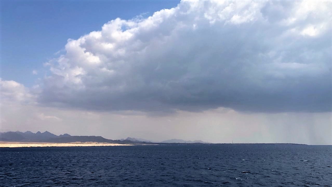
The peninsula is divided into a number of distinct geographic zones. In the north, a strip of loose sand and dunes runs inland and then gives way to a flat, barren plain. This gravel and limestone plain continues for nearly 241 km² , rising at its southern extremity to the plateau Jabal al Tih. From the plateau to the southern tip of the peninsula, Sinai is cut by a jagged system of mountains and wadis, channels that fill with water during heavy rainfall. The climate of Sinai is generally hot and dry, receiving an average of less than 100 mm of rain per year. There is only little vegetation and conditions for agriculture are very difficult. With an area of 61,000 km² and a population of about 200.000 most inhabitants live along the coast or nearby tourist centers like Sharm El Sheikh, Dahab, Nuweiba or Taba. Several Bedouin tribes live in the region, some still following their traditional nomadic lifestyle. Due to the difficult terrain and lack of water, economic activity is limited primarily to mineral extraction, offshore oil drilling, fishing and tourism.
In recorded history the peninsula has been invaded more than 50 times by Assyrians, Persians, Greeks, Arabs, Turks and others. In modern times, the Sinai territory has been held by Israel after wars with Egypt in 1956 and 1967. In accordance with peace treaties in 1979 Israel finishes the withdrawal process in 1982. The little town of Taba, next to the border, was handed over only in 1989 after Egypt and Israel had been through years of hard negotiations as Israel saw the peace agreement of 1979 not including Taba. Since 1982, the Egyptian government has expanded Sinai's tourism industry, which was established during the period of Israeli control.
The Red Sea coast, renowned for its scuba-diving sites, attracts tourists from all over the world. The thermal winds bring thousands of migrating birds to the shores of the Red Sea making it a paradise for bird-watchers. Sunbathers relax on white sand beaches or find shade in the mangrove lagoons that line the coast, snorkeling is a popular way to explore the underwater world close to the reef. The underwater wonder of the Red Sea remains a living tapestry of corals and exotic fish, waiting for you to discover its secrets. When asked to compare their local diving conditions with those in the Red Sea, divers find it a paradise with clear visibility, little wave action, and warm temperatures all year long. Diving and snorkeling, windsurfing and other water sports, horse and camel riding, desert safaris, four wheeling, cart tracks, golf or excursions to great nearby antiquities attractions, there is just about every activity a vacationer could hope to find - it is almost impossible for a visitor to ever suffer from boredom - visit Sinai!